


PRECINCT HARRISON-G, Montgomery County, Ohio
About
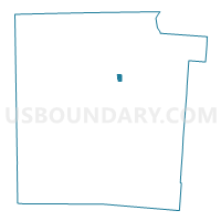
Outline

Summary
| Unique Area Identifier | 650222 |
| Name | PRECINCT HARRISON-G |
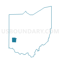
| County | Montgomery County |
| State | Ohio |
| Area (square miles) | 0.32 |
| Land Area (square miles) | 0.32 |
| Water Area (square miles) | 0.00 |
| % of Land Area | 100.00 |
| % of Water Area | 0.00 |
| Latitude of the Internal Point | 39.80901580 |
| Longtitude of the Internal Point | -84.24903580 |
Maps

Graphs
Select a template below for downloading or customizing gragh for PRECINCT HARRISON-G, Montgomery County, Ohio


Neighbors
Neighoring Voting District (by Name) Neighboring Voting District on the Map
- PRECINCT HARRISON-CC, Montgomery County, OH
- PRECINCT HARRISON-H, Montgomery County, OH
- PRECINCT HARRISON-X, Montgomery County, OH
- PRECINCT TROTWOOD 2-A, Montgomery County, OH
- PRECINCT TROTWOOD 2-C, Montgomery County, OH
Top 10 Neighboring County Subdivision (by Population) Neighboring County Subdivision on the Map
- Dayton city, Montgomery County, OH (141,527)
- Trotwood city, Montgomery County, OH (24,431)
- Harrison township, Montgomery County, OH (22,397)